Wednesday, 29 September 2021

Kalgoorlie


Coming into Kalgoorlie from the Trans access road, you have in front of you, at the edge of town, the site of the super pit, the main open cut gold mine of Kalgoorlie. With towering walls of overburden, looking more like a mountain range.


Skirting around the site we came to the outskirts of Boulder, once a separate small town but now more of a suburb of Kal. First stop, a servo to refuel and hopefully shower, unfortunately, the showers and toilets were out of action, as was the tyre air pump, so the tyres had to remain at low pressure till we found a working servo. I didn’t feel like getting my compressor out and doing it that way.

We found a better servo and all was good. Then back to the outskirts and found a secluded camp spot. Next day, it was into town to stock up again. Fresh veges and salad were high on our wish list. It had been three and a half weeks since our last shop, though we still had a good amount of supplies left, it was good to get some little luxuries again.

Caught up with some old friends who had moved here a couple of years ago, it was good to catch up. Then, with all we needed on board, we headed out of town to Rowles Lagoon, a body of water we had visited way back with the kids. It is about 90k out of Kal, turning off at Broad Arrow, then at Ora Banda a bit further on.


The Lagoon is fresh water, and as we do when we come to such a place, we camped up for a while and took advantage of the luxury of abundant water. First was washing cloths then set up the shower and spoiled ourselves.

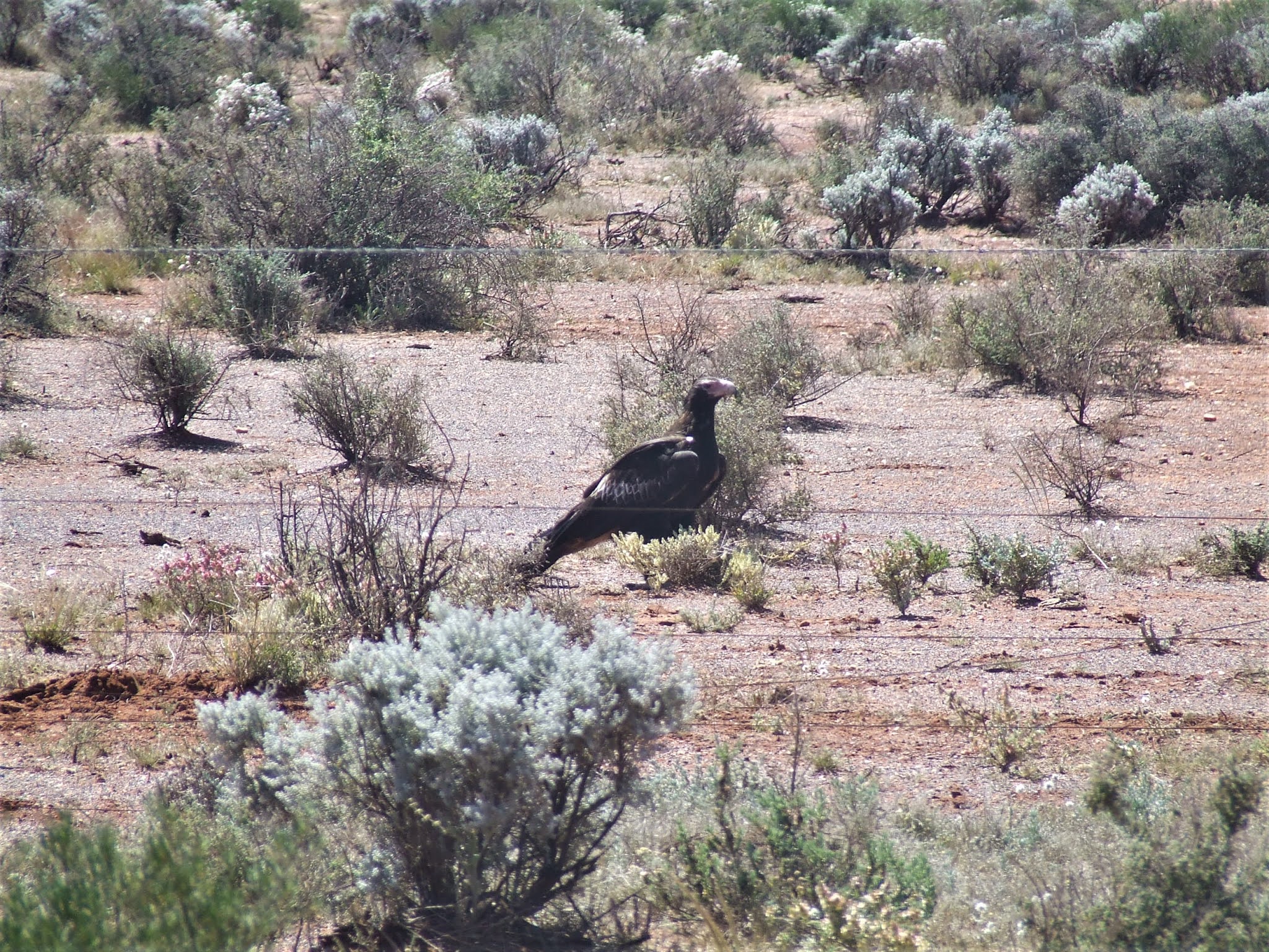
While there, a crew was working around the lagoon mustering and catching wild cattle, which had escaped capture for some time previously. They were using helicopters and bull catcher 4x4s. They worked for three days while we were there and took out two semi truck loads of cattle.


Naretha on


Leaving Rawlinna we headed to Naritha, a siding at the junction of a road leading to Kanandah Station. While travelling with the kids some 25 years ago, we visited Kanandah Station while out on the TCR line on our way to lake Boondaroo. The lake at that time was full of water, this time it was dry, we did not go to the lake this time but stopped at the small shed on the siding at Naretha. Back when we were last there we camped with the kids in the shed for the night. I can still hear the roar of the late night train as it sped past only metres away on that night.


Next down the line is Zanthus, another railway camp where we had camped way back then. We had set up camp in one of the abandoned railway houses and spent quite a few days there. The kids used to wave to the train drivers as they passed. One day we heard the approaching train slow down, as it got closer the driver threw something out the window and sped up again. The kids rushed to pick it up, it was the local Perth newspapers, a good read after some weeks out bush.


Now the houses are gone, only the workers shed remains. Still, we parked up where our temporary home used to be and stayed the night.

Our next destination was a siding called Karoni. Last time we were here we took the road going over the tracks and heading north to an old government dam, where the Italian internees during the 2nd world war built a series of low stone walls on the rock formations in the area to channel water into the dam, which had a roof over it to stop evaporation.

So we turned up the road to find the old dam. Just before we reached the dam, an old quarriey site appeared. The road wound around the excavations, and at one point we turned off and were confronted with the old dam, the roof long gone but the concrete pylons which once supported it still standing like soldiers on a parade ground.


Up the road a bit and the rock formation with the channelling low walls came into view. We set up camp and explored on foot.


Spent a relaxing few days there, then slowly made our way back to the railway line.

Sunday, 12 September 2021

Madura to Rawlinna


Arriving at Madura on the Eyre Highway, it was refuel and make the decision of weather to go further south to Esperance or turn and head north again, as we would have enough fuel now to make Kalgoorlie along the TCR line.

As the weather was warming up, coming into summer, we decided to go north while it was still not to hot. As the temps increased we would go south.

Instead of going back up the way we came, we drove up the highway to Cocklebiddy, where there is a road that goes to Haig on the railway line. Filling up with fuel at Cocklebiddy, we were set to go.

Another rocky, slow 110k trip to the rail line. Not that we were complaining, we love the slow desert roads, so much to take in.

First stop was an old decaying sheerer camp with a two stand sheering machine, rusting away in the falling down shed.


An old wood fired stove stood out back, also rusting away.


Around the side of the shed was what looked to be a vesper motor bike, once a proud machine, now doomed to sit and rot into the red earth. Wish we could have fit it on board and rescued it.


Reached Haig the next day and started west. The road now was a stark contrast to the others. A wide, graded road, although with patches of deep bull dust, which when driven through sends up thick clouds of talcum powder dust which blocks out any view of behind. Luckily I had spent some time in SA putting extra dust seals around the camper and at the end of the days driving there was no dust inside.


Rawlinna the next siding on the line, is still a site where railway crews stay sometimes and also every now and then the passenger train stops and passengers alight and have a look around and are treated to champagne and nibbles . We camped at the end of town and were visited by the local horsewho presented her large head at the window just on dusk and scared the life out of Din. Apparently she cons apples and such from campers.  We had no fruit as nowhere had sold any since crossing the border, so the horse left, disgusted.


In the morning, feeling a bit bad, Din left a slice of bread and molasus, hope he found it before the birds, as the horse was nowhere to be seen.

Monday, 6 September 2021

TCR Line WA


The Trans Continental Railway line we were now driving beside is the same one we followed to Tarcoola. We were now on the western side of the expanse of it. We left Forrest and continued west. Same unkept road conditions, slow going but very interesting.

More lizards beside the road and our first camel sighting. Unfortunately the camel seemed to be a bit lame on his front leg, having a limp while walking. Feeling bad we could do nothing for him, we watched for a while then had to leave him to his own devices.


We were on our way to a junction called Loongana, the same name of one of our favourite places in Tasmania. At this point we were heading south to the highway, some 110k away as this was the nearest fuel. We had had thoughts of heading along the rail line to Kalgoorlie, but the distance was too great for our fuel reserves.

First night was spent behind a signal shed for the railway, where there was a crows nest perched on the framework for the solar panels. On closer inspection there were small fledglings in the nest and we saw them jumping about as mother brought food back and fed them.


At Loongana, after the obligatory photo of the sign, we turned southward. The track was a little less rocky, but in places it would cross small clay pans and you had to scan ahead to find the wheel tracks to keep on course, as that is all the road was, a set of tyre tracks through the salt bush plain.


Another camel was sighted along this track, this one more lame than the first. It made us sad to have to drive past and leave him to his own devices, as the last one. Maybe the two had been in a fight and these were their injuries, These things happen in the camel community, sad but part of nature.


Also passed an old well, with the remains of a steam engine, presumably used to pump water, as well as other bits of cast iron machinery.


Some way down the track there was a camel carcus a little off the road, when scanning about we saw another five in close proximity. This led us to rethink the cause of the former two lame camels injuries. Perhaps they were victims of a shooters misplaced shot. We didn’t want to dwell on that prospect.


Road To Forrest


The road was in average condition and after winding through a landscape of stunted low bush land, opened up into the salt bush wide open country of the Nullarbor. With this change came the deteriorated, rocky condition of the road. This made for slow going, zig zagging and dodging large rocks on the road, most embedded into the clay surface.


In a few places along the length of that road you would come to a spot where at the side of the track would appear flat areas of exposed rock and in the centre a hole, some large and some small.


 First one we came across was shallow and with water and grass growing in it, others were openings to large caverns, which when looked into, were caves disappearing into dark depths.


Scattered along the way were the usual wombat homes and signs of camels, though we didn’t sight any, Did pass some lizards, some slow to move and some very quick.


Two and a half days later we arrived at Forrest, a former meteorological station, the whole infrastructure of the former town was bought some years back by someone and now offers a campground for travellers. It is also the site of an airstrip and is used by the royal flying doctors and a lot of private aircraft, as well as companies. It is a convenient fuel stop for aircraft travelling from Perth to Adelaide and reverse. While we were there, a helicopter dropped in for refuelling and a stop for the night, as the pilots were ferrying the air rescue aircraft to Perth from Adelaide.


Stayed two days at Forrest and did some washing and treated ourselves to a meal provided by the managers of the business, while having a very interesting chat to the pilots.


Thursday, 2 September 2021

Crossing the border


Half way across the Nullarbor is Nullarbor Roadhouse, just before is a sign marking the start of the Nullarbor National Park. Along the boundry is a road, or to be more presise, a couple of wheel tracks. We followed them towards the coast. At roads end, you are standing what seems like the edge of the world. It is in fact the very edge of Australia. High above the water, you look out over Southern Ocean, cliff faces on each side of you, and the Nullarbor stretching to the horizon behind. We made this our home for the night.


Next day it was back to the highway and westward bound. 10K before Border Village we again detoured to the coast for a camp. At this point the coastline is not farr from the road. Found a spot overlooking the sand dunes and waves. Spent the evening tidying up and preparing our remaining fresh veges and freezing them as quarantine doesn't allow you to take any fresh fruit or veg over the border.


Next morning we fronted up to the border. After filling up with fuel at $2.10 per litre, we drove to the check point. After some questions from the border control officer and showing our passes, then a check from the quarantine officer, we were over the border and on our way.

Eucla is a small township not far from the border, we went in and had a look around then got a sandwich from the cafe while we contemplated our next move.

Heading Northwest from Eucla is a dirt road going 112k to Forrest, a former railway town on the Indian Pacific railway, of course, we took it.